Using Google Maps and Google Earth in Education
I’ve chosen to review Google Maps and Google Earth. Both of these tools are similar in that they are geospatial tools (GST). One can access Google Maps using a web browser with internet access. Google Earth also has a web browser plugin function (Fairey, 2022). However, Google Earth can also be downloaded and saved on the computer. In my class, I have requested for IT support to push the app onto my students’ ipads. It can also be used on android devices through downloading them on the Play Store.
I use Google Maps everyday to get to places since it displays routes and journey times. It provides information with elements like a compass, scale, distance, coordinates, similar to Google Earth. Interestingly, besides giving directions Google Maps has other features like live traffic updates (red line signals a traffic jam, orange - slow traffic, and green - clear traffic), travel times for different vehicles, bicycles, and directions for using public transport. It is very convenient and easy-to-load on mobile devices. Most students will also find that it is fairly easy to use and that they are familiar with using it. So it will not be hard to use it in the classroom. However, it requires an internet connection for most up-to-date information. It works well with 3G or 4G as well.
Google Maps can be used to provide students the route information for an actual field trip so that no time is wasted on students getting lost if they are tasked to find various locations. A map with specific locations that the teacher wants the students to visit can be prepared before the field trip. Also, students can download the map and use it offline. I recently took my students on a field trip like that where I had integrated a government Social Studies unit with an English Language Arts class on appreciating cultural diversity by visiting Singapore’s Chinatown. I had provided a physical tourist map to encourage students to practice their map-reading and collaboration skills - and no digital devices, except for a parent chaperone in each team who had his/her mobile phone - that was not a good idea. A team got lost and it had set the entire field trip back by almost 2 hours! If I were to do it over again, I would integrate the use of Google Maps so that I can use all of what we have, digital technology and all, to make our lives better.
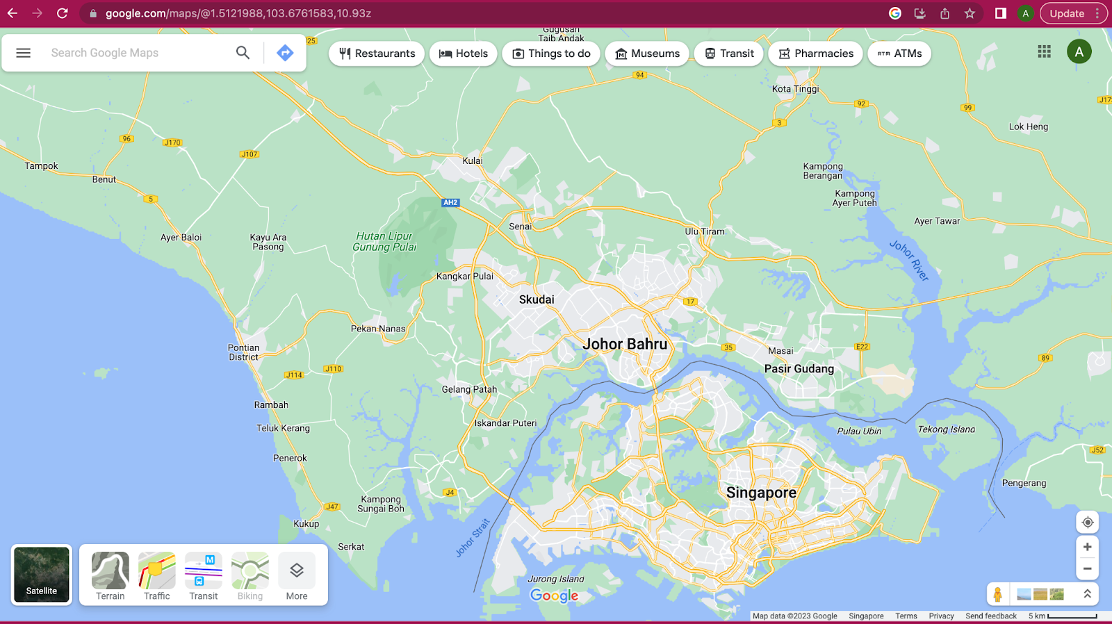
Image: Screenshot of Google Maps Features in Map View
With Google Earth and the search button, students can explore a place familiar to them, or they can click on the dice icon on the left-hand side of the tool to get recommendations on where to go. Students can take virtual field trips to anywhere in the world! One can change the view from 3D and 2D, or vice versa. The little person icon also allows one to view routes in the map. Besides an aerial satellite view of the location, Google Earth is incredibly interactive, filled with pictures, videos, explanations, compass, scale, distances, and even exact coordinates! I think this is a must-have tool for every Social Studies and Geography teacher, with all the extra features that Google Earth provides over Maps. If there is one tool to take students to places, it will be Google Earth. However, there is limited audio interface, so it might be difficult for students with visual difficulties to access the app well.


According to the Revised Bloom’s Taxonomy (2001), when students are given opportunities to create, evaluate, analyze, and apply, they are engaging in higher-order thinking processes. Having to analyze involves drawing connections between what they know and to compare the changes that have taken place.

When a teacher includes questions and activities that allows students to evaluate man’s harmful actions, and for students to suggest what can be done to slow down or even reverse the damage to the environment, s/he is providing opportunities for students to problem-solve and think critically (Shaughnessy, 2012, p. 193) about the situation in our world, thereby applying what they have learned and take action to make things better.
References
Armstrong, P. (2010). Bloom’s Taxonomy. Vanderbilt University Center for Teaching. https://cft.vanderbilt.edu/guides-sub-pages/blooms-taxonomy/.
Avila, D. M., Agamez, C. S., Barrera, V. C. S (2021). Developing digital lessons to integrate social science teaching in Colombia using Google Earth. International Research in Geographical and Environmental Education, 30(2), 112-131. https://doi.org/10.1080/10382046.2020.1766225
Fairey, E. (2022). Geographic Information System and Data Visualization Applications: Google Earth and Google Maps. Brooklyn College Library. https://libguides.brooklyn.cuny.edu/GIS/google_earth_maps#:~:text=About%20Google%20Earth%20and%20Google%20Maps&text=The%20main%20difference%20between%20the,a%20web%20browser%20plugin%20functionality.
Shaughnessy, M. (2012). Chapter 13: Assessment of Thinking Skills. Critical Thinking and Higher Order Thinking : A Current Perspective. Nova Science Publishers, Inc. New York. eBook.
Angel,
ReplyDeleteI also wrote my blog post on Google Maps and Google Earth but reading your post I was able to learn even more about these apps! You're idea about integrating Maps into a field trip is a highly practical way for students to use this tool, and helps you by ensuring they don't get lost. Another way Maps could be used is by having students plan a trip. As a budgeting lesson, students could be tasked with planning a trip to a specific location using only the money allotted to their group. Maps would be useful in this scenario because students could see how far they would have to drive, allowing them to budget for gas, and any attractions and hotels at their destination.
Thank you for sharing! Even after writing my blog post on Google Maps and Earth, I was unaware of the time-lapse feature. This is a very cool tool that I will be sure to check out for future use. One positive of Google Maps and Earth that you mentioned is that they are interactive. I think that oftentimes when teachers and students think about practicing higher-level thinking skills, they automatically picture a boring reading or writing exercise. However, Google Maps and Earth prove that critical thinking skills can be fostered in a way that is interactive, engaging, entertaining, and meaningful. I also love that you included a chart of Bloom's Taxonomy. The ability to map out routes or plan virtual tours provide students with the power to create using Google Maps and Earth. This means that students can practice the highest level of critical thinking, while still enjoying their work. Thanks again!
ReplyDeleteHi Angel! Like a lot of other people I did my blog write up on google earth/maps! I always thought using google maps or google earth for in class lessons would be the most effective, but I never thought about actually using google maps during a field trip. Using google earth while taking students on an in person field trip offers a fun way to actually see the destination and have a gps of sorts while they are exploring. Using the google trip feature, the students could even map out and do research on their trip prior to arriving, making the trip itself easier while laying out clear expectations!
ReplyDelete